High resolution 3D seismic volumes of the subsurface enabling unexploded ordnance detection, quantitative depth of burial assessments and detailed ground modelling.
EXPLORING & MAPPING THE UNEXPLORED
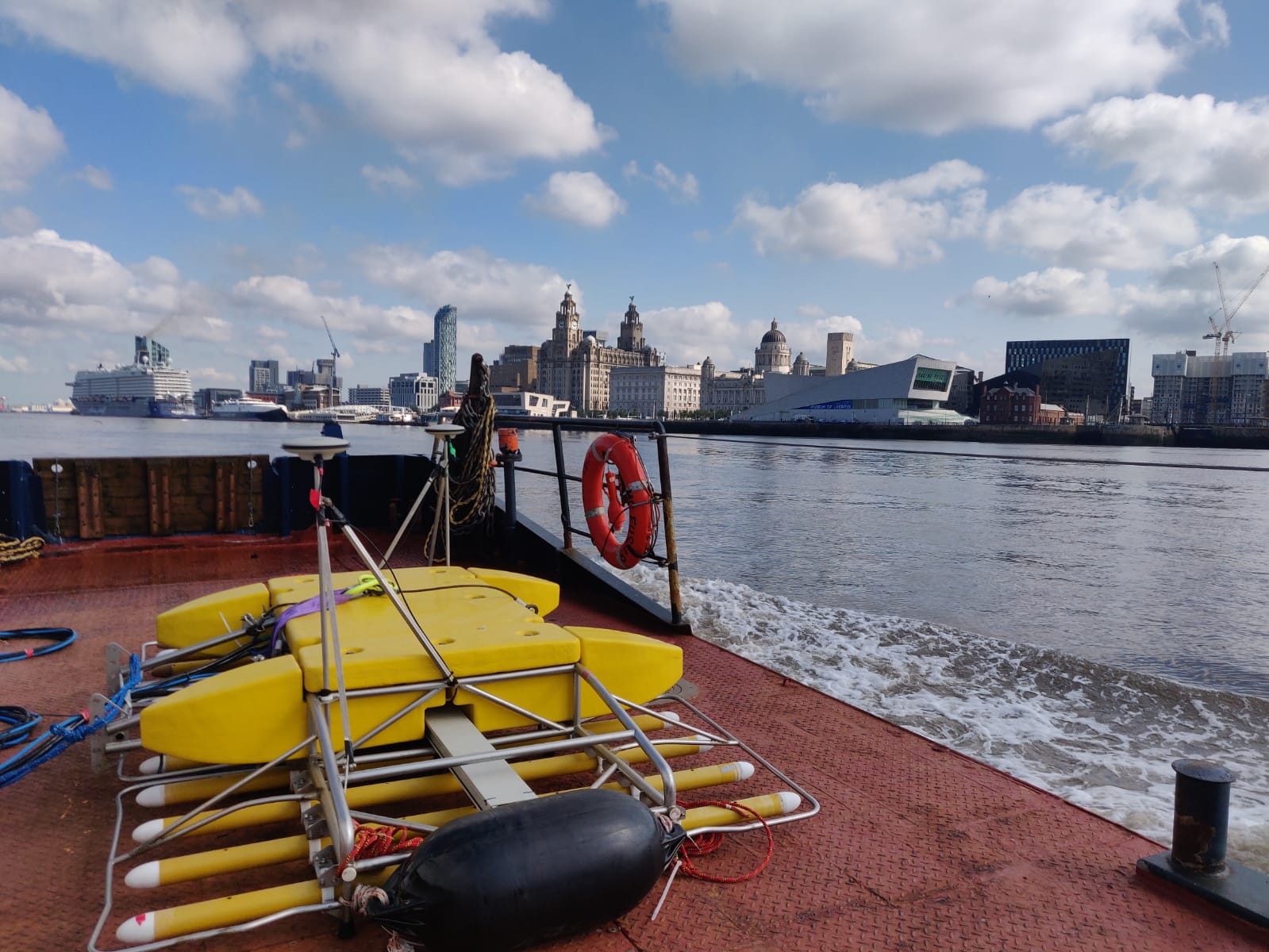
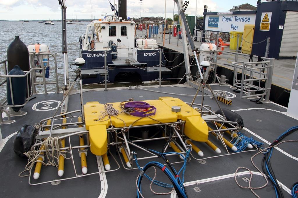
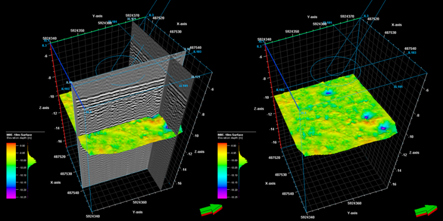
The 3D chirp is a surface-towed sub-bottom profiling system capable of producing 3D seismic volumes of the upper tens of meters of sediment and imaging buried structures and objects with 3D decimetre horizontal resolution and centimetric vertical resolution.
3D Chirp application
Marine Archaeology.
Pre-Construction and Avoidance Analysis.
Post-Construction Depth of Burial.
Unexploded Ordnance Detections and Analysis.
High Resolution Stratigraphy.
3D Chirp features
Wide bandwidth source 1.5kHz to 13.0kHz.
12.5cm or 25cm resolution.
Tens of meters of sub-bottom penetration.
SEGY data output.
True 3D geometrically corrected target imaging.
UXO survey
Ability to detect all objects including ferrous UXO, non- ferrous UXO, metal, wood, rope and rubble down to reducing the number of potential UXO requiring inspection.
Geological imaging
All imaged geological structure, both seabed and sub-seabed, can be mapped in 3D throughout the volume with a horizontal resolution of 12.5cm (equivalent to high-resolution multi-beam data).
Get in touch
Talk to us today about our work or your own project